

A 10-kilometer green corridor along the Manzanares River, built over a buried highway, with 33 bridges, an urban beach, and Madrid's best bike path.
Ten kilometres means you are choosing a stretch, not visiting a park
Madrid Río cannot be seen. It is roughly 10 kilometres of green corridor following the Manzanares through the city, and there is no viewpoint, entrance or centre from which the thing resolves into a single place. Every useful visit starts by picking a segment and a metro stop, and the segments are genuinely different from one another: one is a palace-and-river walk, one is a run of bridges, one is a family water park.
The whole corridor is open 24/7 and free, everywhere along its length. Which stop you use is therefore the only real decision, and the metro map makes it for you: Príncipe Pío (Lines 6, 10 and R) for the north, Pirámides or Marqués de Vadillo (both Line 5) for Arganzuela in the south. An hour or two covers a focused walk on any one section. The full length is a cycling or a serious running distance, not a stroll.
Príncipe Pío down to Puente del Rey: the short historic walk
The northern stretch is the one to take if you have an hour and are already in the historic centre. It runs beneath the Royal Palace, and at Puente del Rey it connects directly to Campo del Moro — whose only public entrance is down here at river level rather than up by the palace, which makes this the natural river-to-palace route for an afternoon. From the garden you climb to the Royal Palace itself.
Just south of Puente del Rey, along the bank facing Casa de Campo’s eastern edge, is the quietest good stretch of the whole park: far fewer people than Arganzuela, and the wooded hills rising on the opposite bank give the best river views on the route. Casa de Campo is right there if you want to trade the linear park for a proper hike or the cable car.
The bridges, old and new
Thirty-three bridges and footbridges cross the river along the corridor, some centuries old and some built for the park, and the middle stretch is where they cluster.
Puente de Segovia and Puente de Toledo are the historic pair. Both are centuries old, both spent decades marooned in traffic, and both are now genuinely pleasant to walk across — which is the clearest single demonstration of what the project did. Puente de Segovia framed against the water at sunset is the classic river photograph here.
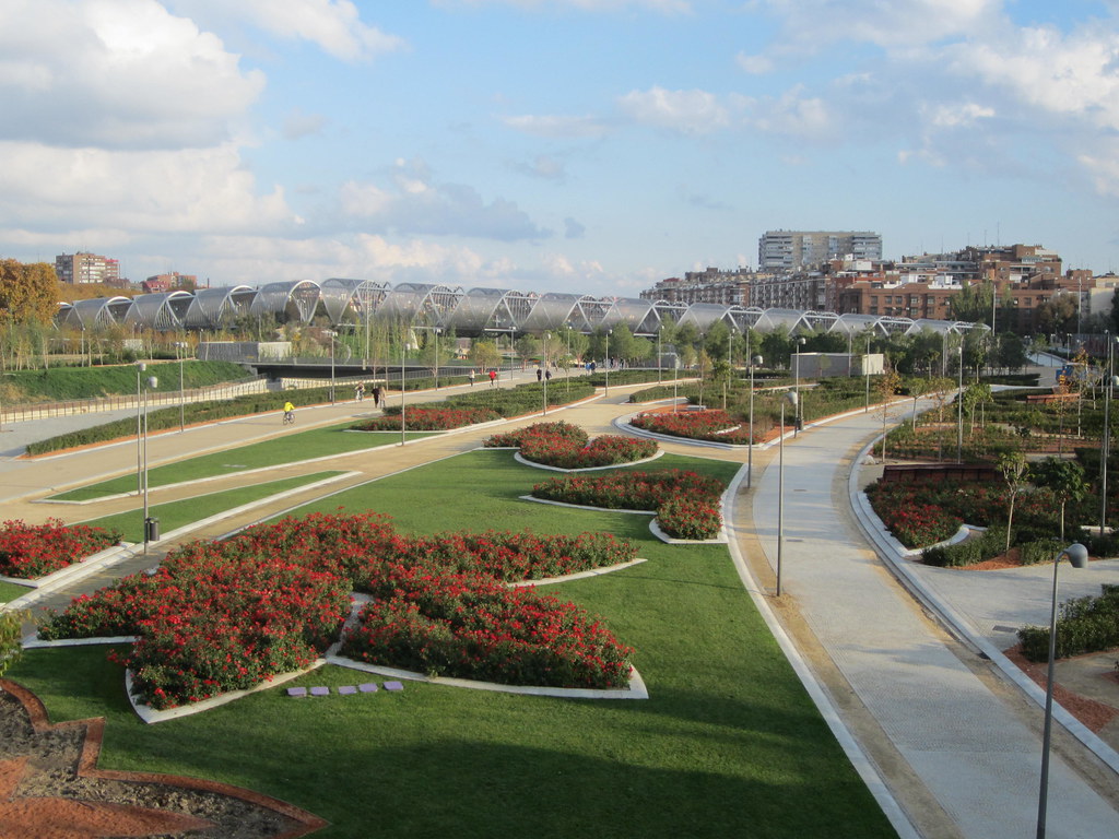
The Puente de Arganzuela is the modern counterpart: 278 metres, two curved white sections that meet on an artificial hill on the bank. It photographs well from almost anywhere, including from directly underneath looking up, and the hill itself is a viewpoint. Shooting west along the water from any of the footbridges at golden hour gives warm, uncluttered frames, largely because the corridor is wide enough that other people do not crowd the shot the way they would in a plaza.
Arganzuela Park, the urban beach and the slide hill
The southern section is the family one, and in summer it is the reason most Madrileños come. Arganzuela Park holds the urban beach: three oval shallow pools and water jets, running seasonally through the hot months, and one of the very few free ways to cool off outdoors in Madrid in July and August. The slide hill next to it has eight giant slides. Between them and the seventeen playgrounds spread along the corridor, this is about as family-friendly as outdoor Madrid gets — and it draws families from across the city, so hot summer weekend afternoons are genuinely crowded. Go in the morning if you want space in the pools.
Arganzuela also has the best facilities on the route. Restrooms and drinking fountains exist along the corridor but are not continuous, so if you are out for a few hours with children, plan around this end.
A buried motorway, and what the park is actually for
Until the early 2000s this stretch of the Manzanares ran alongside the M-30, an elevated urban motorway that severed the river from the neighbourhoods on both banks and filled the valley with noise and exhaust. Burying the motorway and reclaiming the surface was an expensive, phased intervention through the 2000s, largely finished by 2011.
Ginés Garrido’s winning competition design chose a continuous walkable corridor over ornamental gardens, and added dams and fish ladders to make the river itself viable for wildlife. Herons and kingfishers are now regular sights on a waterway that had been little more than a drainage channel. The project took Harvard’s Veronica Rudge Green Prize in Urban Design in 2015 — substantial recognition for what is fundamentally a piece of infrastructure.
What it signifies is a deliberate trade of car capacity for pedestrian and cycling capacity, at a scale few European capitals have attempted. Matadero Madrid, the former municipal slaughterhouse near the southern end, belongs to the same transformation of an industrial river corridor into a cultural and recreational one.
On a bike, and on foot in the evening
The cycling path is continuous, well maintained and runs the full length, used by commuters as much as by leisure riders. It is also the only way to experience the park as a single object rather than as segments. The surface is flat and paved for kilometres without interruption, which makes this the least physically demanding major green space in the city and, in practical terms, the most wheelchair- and stroller-friendly outdoor space in Madrid — a completely different proposition from El Retiro’s slopes and gravel.
Early evening is when the park is most itself: runners, cyclists, dog walkers, the whole after-work turnout. Weekday evenings are the sweet spot — thinner than weekends, with the light still good. Winter keeps the paths open and pleasant with a fraction of the summer crowd, which suits a brisk walk when more exposed spaces feel bleak. Spring and autumn are the comfortable months for covering distance.
Nothing here needs a ticket or a booking, and pickpocketing is a much smaller concern than in the packed centre simply because the space is so spread out. For food, the riverside path itself offers little; Matadero’s food market and river-facing terraces near the southern end are the answer.


Where to Stay Near Madrid Río Park
Real current prices via Agoda. Dates shown are indicative — pick your own on the next step.
Madrid Río Park: Quick Answers
What are the opening hours of Madrid Río Park?
Open 24/7, free access; the urban beach fountains typically run seasonally in summer
How much does it cost to visit Madrid Río Park?
Free
How do you get to Madrid Río Park?
Príncipe Pío (Line 6, 10, R), Pirámides (Line 5), or Marqués de Vadillo (Line 5) depending on which stretch you want. 5-minute walk from Príncipe Pío for the northern section; direct from Pirámides or Marqués de Vadillo for Arganzuela Park
How long should you plan to spend at Madrid Río Park?
1-2 hours for a focused walk; longer if cycling the full length
Is Madrid Río Park good for kids?
17 playgrounds along the route plus the Arganzuela urban beach make this one of the most family-friendly outdoor spaces in Madrid
Is Madrid Río Park wheelchair accessible?
Flat, paved, and continuous for kilometers — one of the most wheelchair- and stroller-friendly outdoor spaces in the city
Any tips for visiting on a budget?
Completely free, including the urban beach's water features — no entry fee anywhere along the park's length
Where to Go Next

Campo del Moro
English-style romantic gardens behind the Royal Palace, named for a 12th-century Moorish siege camp, with fountains and the palace's most dramatic facade view.
 must see
Royal Palace of Madrid
Europe's largest functioning royal palace: 3,000+ rooms of Bourbon excess, a world-class armoury, and the last word in Spanish state pomp.
Casa de Campo
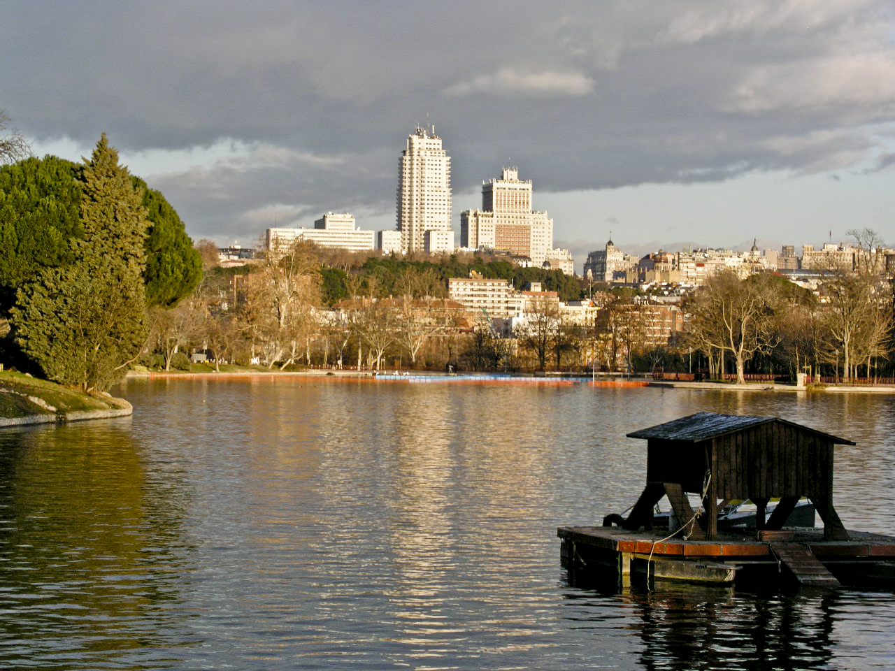
Madrid's largest park at nearly 1,723 hectares — about five times the size of New York's Central Park — with a lake, a zoo, a cable car, and genuine forest.